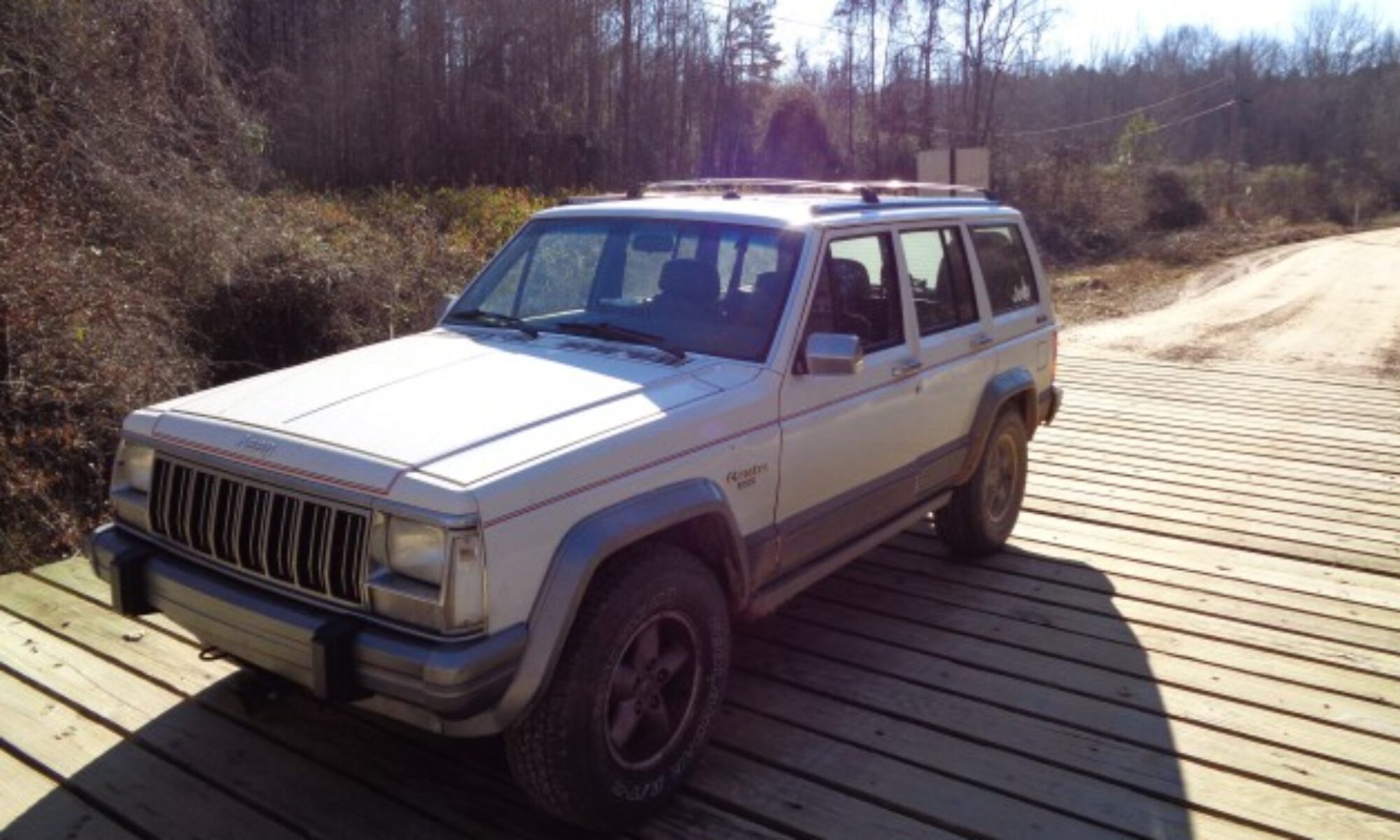
Running a portion of the Georgia Traverse
Tom and I decided to try out the Georgia Traverse Trail that runs across the northern part of Georgia. It is documented on the web site GeorgiaOverland.com.
For our first excursion, we chose the section that is between our homes. There are two alternate paths around the Cohutta Wilderness area – since the road through was closed years ago. We decided to run both and make a loop.

We met in Eton and began the adventure in Crandle. I had taken a few minutes to study the map at home and had planned to use my phone to navigate. However, I found it very hard to view the maps on mobile.
So we promptly got lost on the first turn. After ending up at the Cohutta Spring resort, We made a second go and found 630 to Conasauga lake.
We made our way up the mountain and took the north fork toward Murry Lake. We never did see the lake however. Not sure where we missed it.
We took a right on old Hwy 2 and up into Tennessee at the Jacks River Bridge. This was familiar territory to us form having worked and raced in the Cherokee Trails Rally.
We paused at the little waterfall alongside the road that is an old railroad grade.

We then made the sharp right up Big Frog loop. We followed the loop all the way to Peavine road.
Then we took Peavive across the ridge following the south side of the Ocoee River. We debated returning to pavement at Ocoee#3 powerhouse but decided to continue and make the gravel loop.
Just past Tumbling Creek Campground we turned right to head south. This was new territory for me. The area by the creek was very popular with every pull off occupied by people playing in the water.
Just after got back to the wilderness area, we encountered our first and only obstacle of the day. A tree across the road.
After some debate, I decided to hop across with Tom spotting. I made it fine. So I watch and took some pictures as Tom came across in his Amigo.


After we were across we made it easily down to the other side of Hwy 2. We continued south on and west. We had to share the road with a large group of horses at one point. At least we came up on them in a place with good visibility and a wide shoulder for them to gather and let us by.
We ended up deviating from the route slightly at the southernmost point. We followed a sign to 411 that put us on CCC camp road rather than following Cow Pen rd.
That worked out fine however since we got to see Bryce Falls.

We posed the Trucks for some photos before heading our separate ways.


